


NavIC (Navigation with Indian Constellation)

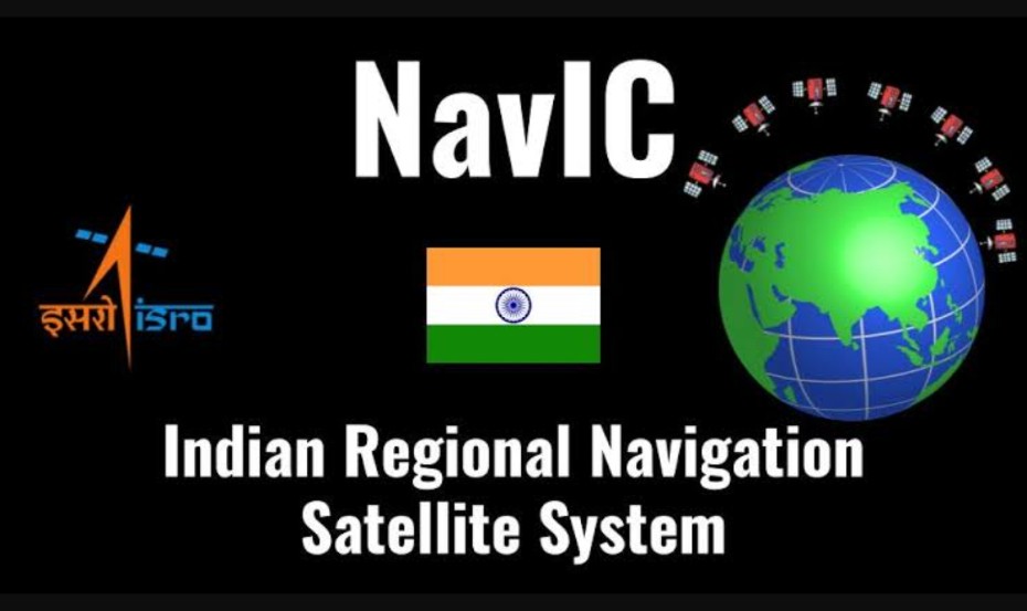
India is actively pushing for self-reliance in navigation through its indigenous satellite navigation system, NavIC (Navigation with Indian Constellation). NavIC is designed to provide accurate position information services to users in India and the surrounding region, covering a range of approximately 1,500 km from its borders.
Key aspects of this push include:

🛰️ Independence from Global Systems:
By developing and promoting NavIC, India aims to reduce its reliance on global satellite navigation systems like GPS (USA), GLONASS (Russia), Galileo (EU), and BeiDou (China).
🛰️ Strategic and Security Reasons:
Having an indigenous navigation system enhances national security and provides strategic advantages, ensuring that critical navigation services are available even if access to foreign systems is restricted.
🛰️ Commercial and Civilian Applications:
NavIC is intended for a wide range of applications, including terrestrial, aerial, and marine navigation, disaster management, vehicle tracking and fleet management, precise timing, mapping, and geodetic data capture.
🛰️ Government Initiatives and Policies:
The Indian government is implementing policies and initiatives to encourage the use of NavIC in various sectors, including mandatory use in certain applications such as public transportation and emergency response systems.
🛰️ Technological Development and Upgrades:
Continuous technological advancements and upgrades are being made to enhance the capabilities and accuracy of NavIC, ensuring it meets international standards and user requirements.
Through these efforts, India is working towards establishing NavIC as a reliable and widely-used navigation system both domestically and in neighboring regions.
JAI HIND...
Signing off
Please sign in
Login and share