


Google Maps adds time machine feature, expands Street View to more countries

Google is adding the ability to look up images from the past and expanding Street View to almost 80 countries.
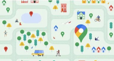
Google recently announced a bunch of updates to Google Maps, one of the most popular navigation services in the world.
In a blog post, the tech giant said Google Maps is getting a new feature that lets you “travel back in time and see what your neighborhood looked like decades ago.” According to Google, some aerial and satellite imagery goes as far back as 80 years.
The blog post also suggests that in places like Berlin, London, Paris and Warsaw, historical imagery can go as far back as the 1930s. In Google Earth, the company says it is making it easier for researchers and organisations to use the service for projects.
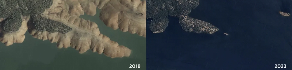
The Street View feature, which has collected over 280 billion images from cars and trekkers, is getting “one of the biggest updates yet,” and is expanding to almost 80 countries. From Bosnia’s countryside to medieval villages to the sandy mountains of Namibia, there are a lot of places to explore.
In addition to the previously mentioned features, the company announced it is enhancing satellite imagery on Google Earth and Maps. This will create “a brighter, more vibrant globe” using the Cloud Score+ AI model, which is trained on millions of images to detect and remove elements like cloud shadows, haze, and mist.
Please like and follow your gaming and all knowledge quester kartik @Kvkartikji04
Please sign in
Login and share